Application of 3D terrestrial laser scanning in the geodetic activities of "GEO ZEMIA" Ltd.
The company uses the professional software for processing of the data from the 3D terrestrial laser scanning Trimble RealWorks.
Content
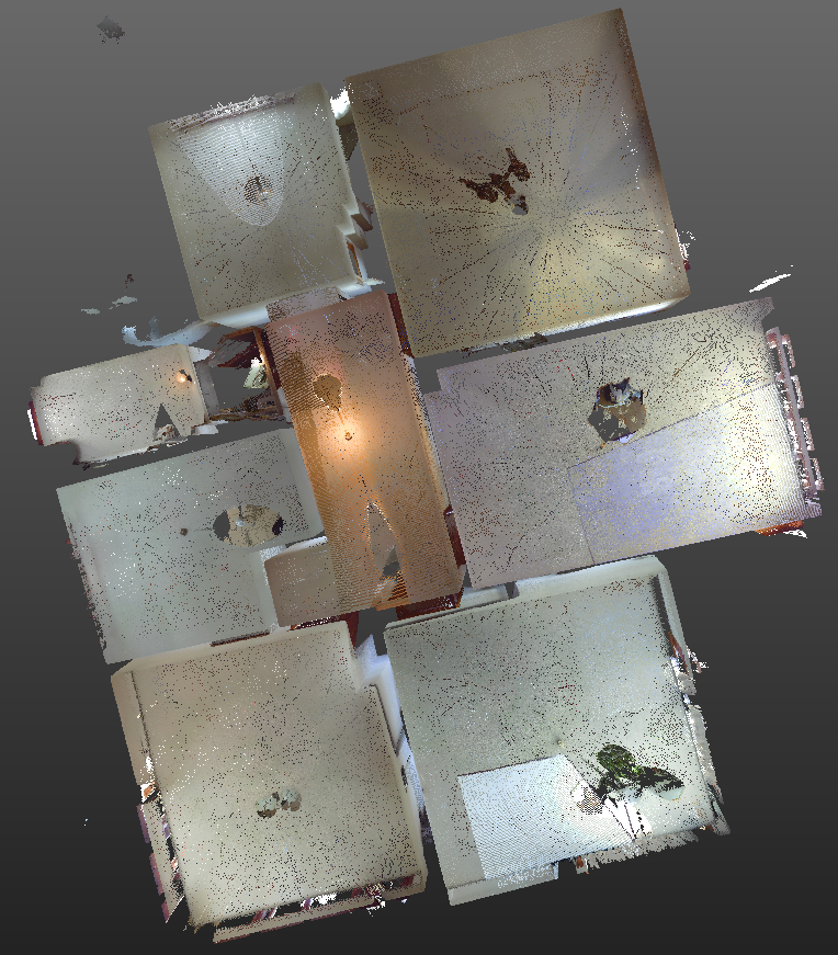
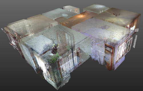
3D laser scanning of interior for creation of digital model of plans
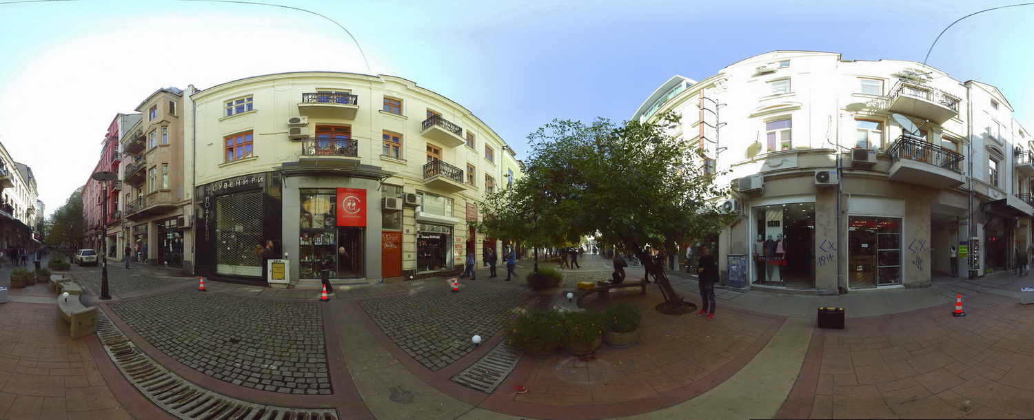
Creation of 360 degree panoramic photos
Creation of video and high-accuracy 3D digital models
Geodetic measurements for deformation analysis
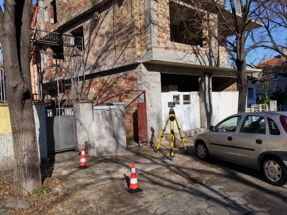
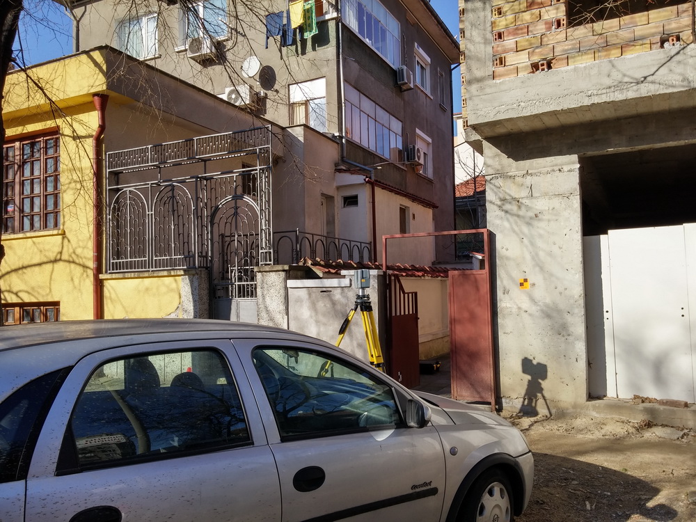
High-accuracy geodetic measurements of cadastral objects in the urban area
3D Terrestrial Laser Scanning, as part of LIDAR (LIght Detection And Ranging) technology is one contemporary way for fast and accurate determination (calculation) of 3D coordinates of points from the surrounding space, using geodetic measurements. Laser scanners could be classified by their way of measurement:
-pulsed TOF (Time Оf Flight);
-phase based;
-based on triangulation.
The geodetic measurements are conducted using an active system (scanner) and are contactless - i.e. it is not required a human presence at the place of the measured point. In this way the terrestrial laser scanning gives the possibility to perform geodetic measurements of hazardous or difficult to reach places, e.g. landslide monitoring, bridge measurements, facades of buildings, tunnels and many others.
According to the way of registration of the measurements, the laser scanning system could be divided into pulse and phase based.
The values of the following quantities are subject of record: horizontal, vertical angle and the distance to each point from the cloud (see below) as well as the intensity of the reflected laser signal. The coordinates of the points from the cloud are determined in the local coordinate system of the laser scanner. The data could be also georeferenced in the relevant coordinate system.
From the created 3D digital model could be extracted very high accuracy spatial data for the scanned object. The result from the conducted geodetic measurements is the so called point cloud. The last contains exclusively accurate information for the object.This is also valid for objects with complex spatial geometry.
One of the many advantages of the 3D laser scanning is the enormous decrease of the costs for performing of the geodetic measurements, without compromise in the quality.
-surveying (design, geodetic measurements, 3D visualization of objects, high-accuracy measurements of any details of the scanned object, e.g. distances, heights;
-documentation of objects, calculation of volumes;
-creation of cross-sections of the objects;
-architecture (high-accuracy measurements of facades and interior);
-archaeology;
-industry;
-engineering activities and many others.

video from the 3D digital model of Troian Monastery
video from the 3D digital model of the west facade of Troian Monastery
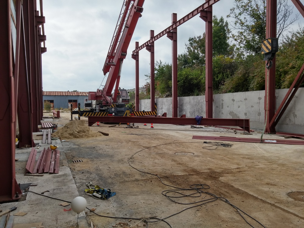
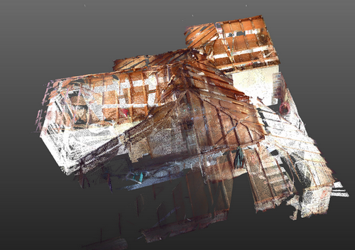
geodetic measurements - 3D terrestrial laser scanning of a steel construction
Copyright ©2025 - "GEO ZEMIA" Ltd. All Rights Reserved.